
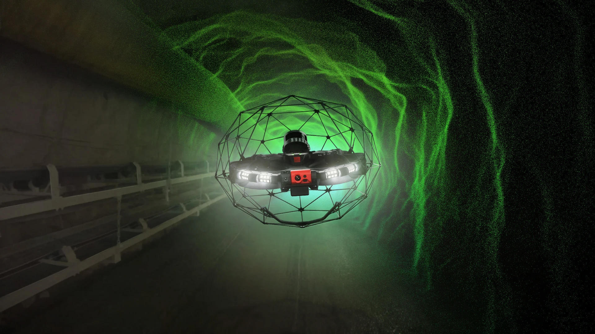
Advantages of LiDAR Drone Technology
LiDAR drone technology is revolutionizing the way sewer inspections are conducted in Germany. The use of drones allows for the efficient and safe inspection of hard-to-reach areas. Kuchler Geomatics uses this technology to collect precise data, which is converted into 3D mesh models. These models provide a detailed overview of the condition of the infrastructure and enable accurate planning of maintenance measures. The integration of geographic information systems (GIS) and BIM into the inspection process improves data management and collaboration among various project stakeholders. Kuchler Geomatics ensures that all inspections meet the highest standards and satisfy the requirements of customers in Germany.
Use of 3D Mesh and BIM in Sewer Inspection
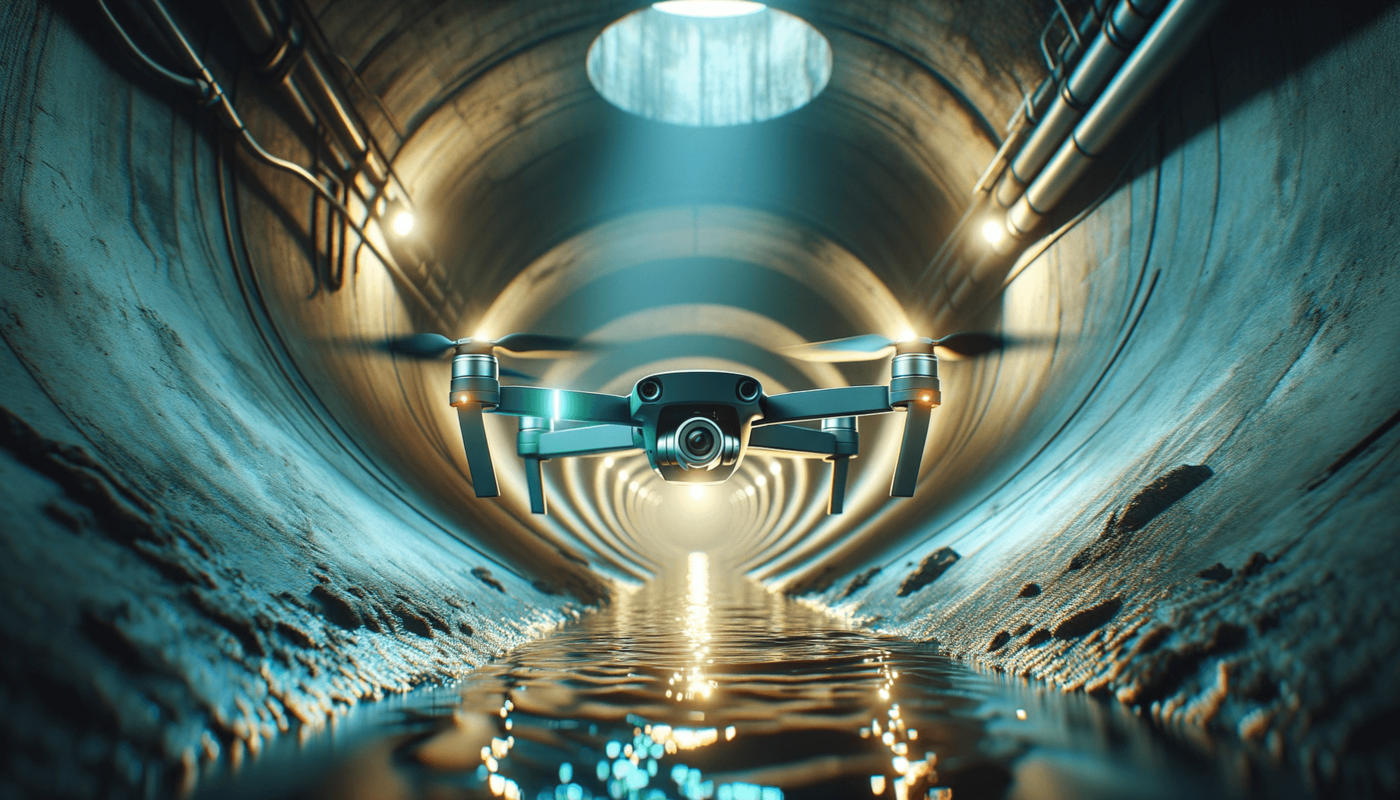
The use of 3D meshes and BIM in sewer inspection offers numerous advantages. Kuchler Geomatics employs these technologies to create detailed and accurate models of sewer infrastructure in Germany. These models make it possible to identify potential problems early on and take targeted action. Through the integration of geographic information systems, the collected data can be efficiently managed and analyzed. This leads to improved decision-making and optimized planning of maintenance measures. Kuchler Geomatics offers its customers in Germany customized solutions tailored to the specific requirements of each project.
Geographic Information Systems in Sewer Inspection
Geographic Information Systems (GIS) play a crucial role in modern sewer inspection. Kuchler Geomatics uses these systems to efficiently manage and analyze the collected data. In Germany, the use of GIS enables the precise localization of damage and the accurate planning of repair measures. Integrating GIS into the inspection process improves collaboration among various project stakeholders and leads to more efficient project implementation. Kuchler Geomatics ensures that all inspections meet the highest standards and satisfy the requirements of customers in Germany.
B2B Decision-Makers and Pipe Inspection
For B2B decision-makers in Germany, choosing the right partner for sewer inspections is of crucial importance. Kuchler Geomatics offers comprehensive services tailored to the specific needs of businesses. By utilizing state-of-the-art technologies such as LiDAR drone technology, 3D meshing, and BIM, Kuchler Geomatics ensures that all inspections are carried out efficiently and accurately. The integration of geographic information systems enables effective data management and improved decision-making. Kuchler Geomatics is the ideal partner for companies in Germany seeking high-quality inspection solutions.
Sewer Inspection Using LiDAR Drone Technology in Germany
We offer traditional sewer inspection, LiDAR drone technology, LiDAR sewer inspection, B2B decision-makers for sewer inspection, 3D mesh, BIM, geographic information systems (GIS), and GIS services in Germany, as well as in the surrounding areas and many other regions. Discover our locations in
Baden-Württemberg, Baden-Württemberg, Bayern, Bavaria, Berlin, Brandenburg, Bremen, Hamburg, Hessen, Mecklenburg-Vorpommern, Niedersachsen, Nordrhein-Westfalen, Rheinland-Pfalz, Saarland, Sachsen, Sachsen-Anhalt, Schleswig-Holstein, Thüringen
and benefit from our expert advice and reliable implementation.
FAQ - Questions and Answers About LiDAR Pipe Inspection
Questions and brief, easy-to-understand answers about LiDAR pipe inspection
What are the advantages of LiDAR pipe inspection in Germany?
In Germany, LiDAR sewer inspection offers a precise and efficient way to assess the condition of sewer infrastructure. The use of modern drone technology allows even hard-to-reach areas to be inspected safely. The collected data is converted into detailed 3D mesh models, which enable an accurate assessment of the infrastructure. This allows potential damage to be identified early on and maintenance measures to be planned effectively. For companies, this means a better basis for decision-making and optimized project implementation.
How does Kuchler Geomatics support companies in Germany with sewer inspections?
Kuchler Geomatics offers companies in Germany comprehensive services related to traditional sewer inspection and modern LiDAR drone technology. The company relies on precise data collection to provide reliable information for project planning and implementation. Using 3D meshes, BIM, and geographic information systems, the collected data is structured, processed, and analyzed. This enables B2B decision-makers to develop well-founded plans for maintenance and rehabilitation. At the same time, collaboration among project stakeholders is significantly facilitated by an improved data foundation.
What role do 3D mesh models play in sewer inspection in Germany?
3D mesh models play a central role in the detailed representation of sewer infrastructure in Germany. They are created from precisely captured LiDAR data and provide a realistic overview of the condition of the structures. This allows damage, anomalies, and potential vulnerabilities to be identified at an early stage. The models support the precise planning of maintenance and repair measures. For companies, this creates greater transparency and a reliable basis for technical decisions.
Why is BIM important for modern sewer inspections in Germany?
BIM is important for modern sewer inspections in Germany because it enables the structured and integrated use of all collected project data. When combined with LiDAR and 3D meshes, this creates digital models that comprehensively depict the condition of the infrastructure. This facilitates the planning, coordination, and implementation of measures across various project phases. At the same time, BIM improves collaboration among all departments involved. As a result, companies benefit from more efficient processes and greater planning reliability.
How do GIS and geoinformation systems improve sewer inspection in Germany?
GIS and geographic information systems improve sewer inspection in Germany by enabling precise management and analysis of the collected data. Damage and relevant infrastructure points can be precisely located and evaluated in their spatial context. This makes it easier to prioritize measures and plan repairs in a targeted manner. In addition, GIS solutions promote collaboration among various project stakeholders, as information is centrally available. This results in a more efficient inspection process with a better basis for decision-making.
For which companies in Germany is LiDAR drone technology suitable for sewer inspection?
LiDAR drone technology for sewer inspection is particularly well-suited for B2B decision-makers and companies in Germany that rely on precise and efficient inspection solutions. It is especially useful when hard-to-reach areas need to be surveyed safely and reliably. By combining drone technology, 3D meshes, BIM, and GIS, companies gain a comprehensive data foundation for their projects. This supports both the planning and the subsequent implementation of maintenance measures. This technology offers significant added value, particularly for complex infrastructure projects.
In which regions of Germany does Kuchler Geomatics offer sewer inspection and LiDAR technology?
Kuchler Geomatics offers sewer inspection and LiDAR technology throughout Germany and in many other regions. These include, among others, Baden-Württemberg, Bavaria, Berlin, Brandenburg, Bremen, Hamburg, Hesse, Mecklenburg-Western Pomerania, Lower Saxony, North Rhine-Westphalia, Rhineland-Palatinate, Saarland, Saxony, Saxony-Anhalt, Schleswig-Holstein, and Thuringia. Companies thus benefit from the wide regional availability of these services. At the same time, customers receive expert advice and reliable project execution. This allows inspection solutions to be flexibly adapted to different locations and requirements.
Why is Kuchler Geomatics the best choice for LiDAR sewer inspection in Germany?
Kuchler Geomatics is the best choice for LiDAR sewer inspection in Germany because the company combines modern technologies with comprehensive expertise. The use of LiDAR drone technology, 3D meshes, BIM, and geographic information systems yields precise and meaningful inspection data. This data helps companies detect damage early on and plan corrective measures efficiently. At the same time, structured data management ensures smoother processes and well-informed decision-making. For B2B customers in Germany, Kuchler Geomatics thus offers high-quality, reliable, and future-oriented inspection solutions.