Professional sewer inspection and condition analysis
Kuchler GmbH has stood for professional sewer inspection, sewer cleaning and sewer rehabilitation for many years. With Kuchler Geomatics, we are expanding this experience to include modern drone-based inspection and surveying technology for areas that are difficult to access.
The focus is on the inspection of suitable sewers, manholes, culverts and special structures as well as LiDAR-based 3D recording with systems such as the Flyability Elios 3. This allows areas to be documented that are difficult, costly or pose an increased safety risk to access directly.
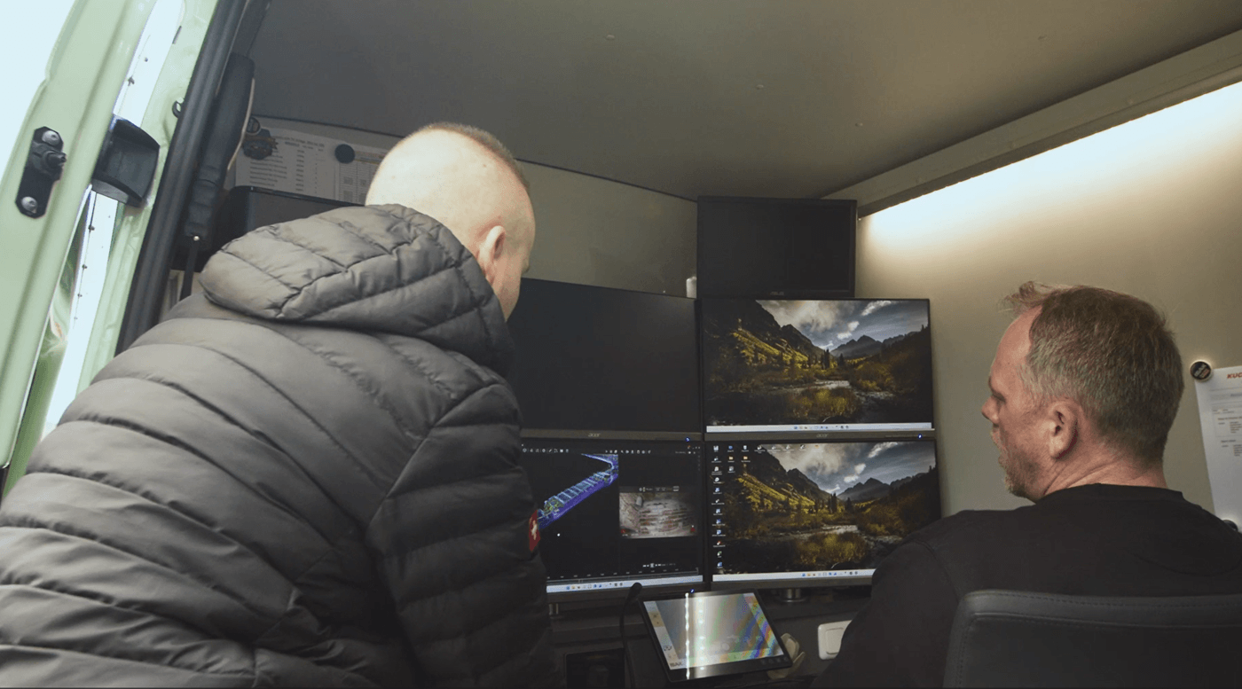
The captured image and 3D data is then evaluated in a structured manner and prepared for documentation, condition assessment, planning and reporting. In doing so, we combine Kuchler GmbH's many years of expertise in the sewer sector with new digital processes for a comprehensible and practical data basis.
Our services
From drone-based inspection and LiDAR-based 3D recording to structured evaluation and condition documentation
- Kuchler Geomatics supports you in the safe, efficient and traceable recording of your sewer infrastructure.

Drone-based inspection of suitable sewers, manholes, culverts and difficult-to-access structures with high-resolution image data and LiDAR-based 3D capture with Flyability Elios 3 and LiDAR 3D scanning - enables non-contact documentation from a safe distance and complements conventional sewer inspection methods where direct access is difficult or costly.

Captured LiDAR point clouds and 4K image data can be digitally processed and evaluated with software support. Anomalies, damage, deposits and geometric changes can be documented in a structured manner and prepared for further technical evaluation.

Standard-oriented condition assessment and documentation of inspection data in accordance with relevant regulations such as DIN 1986-30, DIN EN 13508-2 and DWA-M 150. Depending on the project requirements, the results can be provided in common exchange formats such as ISYBAU XML, TV-Kandis-compatible formats or for further processing in BIM and GIS systems.
FAQs
What services does Kuchler Geomatics offer for drone-based sewer inspections?
Kuchler Geomatics offers drone-based inspection of suitable sewers, shafts, culverts and special structures that are difficult to access. High-resolution image data and LiDAR-based 3D recording are used, including with the Flyability Elios 3. This allows areas to be documented that are difficult, costly or pose an increased safety risk to access directly. The recorded data is then evaluated in a structured manner and prepared for documentation, condition assessment, planning and reporting. This creates a comprehensible and practical data basis for the further technical processing of your sewer infrastructure.
For which structures is LiDAR-based inspection with the Flyability Elios 3 suitable?
LiDAR-supported inspection is particularly suitable for suitable sewers, shafts, culverts and other structures that are difficult to access. It is particularly useful where direct access is difficult, time-consuming or associated with increased safety requirements. With the Flyability Elios 3, these areas can be recorded and documented without contact from a safe distance. The combination of image data and 3D scanning enables a detailed recording of the existing situation. The process therefore complements conventional methods of sewer inspection in demanding areas of application.
How are LiDAR point clouds and 4K image data evaluated after the sewer inspection?
After data acquisition, LiDAR point clouds and 4K image data are digitally processed and analyzed with software support. Anomalies, damage, deposits and geometric changes can be documented in a structured manner. The results are prepared in such a way that they can be used for technical assessment and further planning. In addition, the data is prepared for documentation and reporting so that it can be reused in a comprehensible manner. In this way, the inspection provides a reliable basis for condition assessment and project-related decisions.
According to which standards and regulations does Kuchler Geomatics document inspection data?
Kuchler Geomatics bases its condition assessment and documentation on relevant regulations such as DIN 1986-30, DIN EN 13508-2 and DWA-M 150, ensuring that inspection data is prepared in a standardized and technically comprehensible manner. This structured documentation supports a uniform assessment of the recorded condition. Depending on the project requirements, the results can also be provided in common exchange formats. These include ISYBAU XML, TV-Kandis-compatible formats and data for further processing in BIM and GIS systems.
What advantages does drone-based 3D surveying offer for sewer structures that are difficult to access?
Drone-based 3D surveying enables non-contact documentation from a safe distance. This is particularly advantageous for structures that are difficult to access or where direct access would involve increased effort. LiDAR-based recording allows geometric structures to be precisely recorded and provided as 3D data. In addition, high-resolution image data provides a visual basis for structured evaluation. This allows the condition, anomalies and changes to be recorded efficiently and comprehensibly.
Why Kuchler Geomatics drone-based sewer inspection and LiDAR 3D acquisition?
Kuchler Geomatics combines Kuchler GmbH's many years of experience in sewer inspection, sewer cleaning and sewer rehabilitation with modern drone-based inspection and surveying technology. As a result, clients benefit from practical expertise and digital data acquisition for areas that are difficult to access. With systems such as the Flyability Elios 3, high-resolution image data and LiDAR-based 3D data are captured safely and efficiently. The subsequent structured evaluation, standard-oriented documentation and provision in common exchange formats create a reliable basis for planning and evaluation. In addition, Kuchler Geomatics checks the possible applications for each project, clarifies requirements for data acquisition and transfer formats and, if required, prepares a fixed price offer.
Talk to us about your inspection task
We will check the possible applications, clarify the requirements for data acquisition, evaluation and handover formats and, if desired, prepare a project-related offer.
Answer within 24 hours - Fixed price offer possible - On-site appointment on request