
Advantages of LiDAR Drone Technology
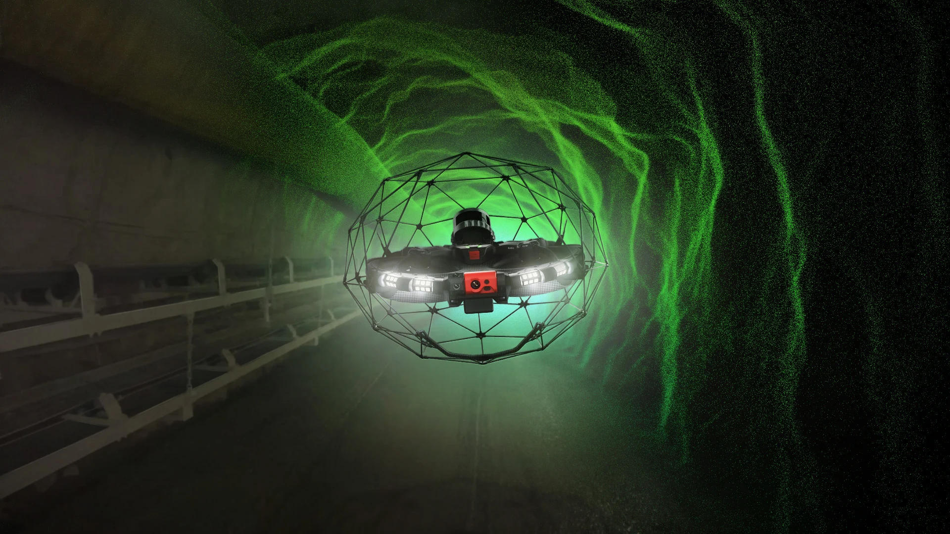
LiDAR drone technology is revolutionizing the way sewer inspections are conducted in Baden-Württemberg. The use of drones allows for the efficient and safe inspection of hard-to-reach areas. Kuchler Geomatics uses this technology to collect high-precision data that can be converted into a 3D mesh. This enables detailed analysis and planning, which is invaluable to B2B decision-makers in the field of sewer inspection. Integration with geographic information systems (GIS) offers additional benefits by enabling seamless integration into existing systems. Our services in Baden-Württemberg are designed to increase efficiency and reduce costs while simultaneously enhancing safety. Trust Kuchler Geomatics to take your projects to the next level.
Use of 3D Mesh and BIM in Sewer Inspection
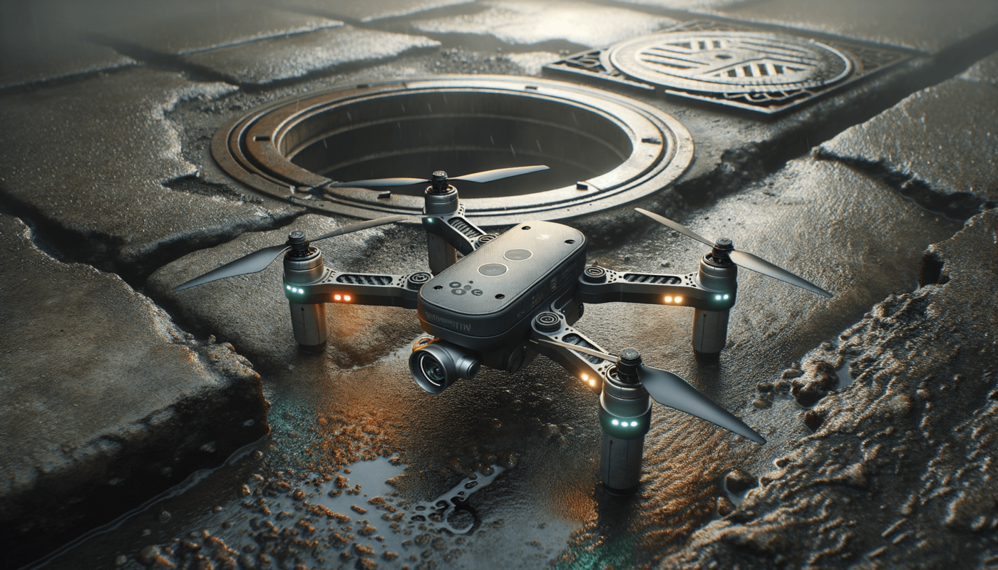
The use of 3D meshes and Building Information Modeling (BIM) in sewer inspection offers numerous advantages. Kuchler Geomatics employs these technologies in Baden-Württemberg to enable a precise and comprehensive analysis of the infrastructure. By creating three-dimensional models, potential problems can be identified and resolved early on. This is particularly important for B2B decision-makers in the field of sewer inspection, who rely on accurate data to make informed decisions. The integration of 3D mesh into geographic information systems (GIS) enables a seamless connection between the physical and digital worlds. Kuchler Geomatics offers customized solutions in Baden-Württemberg that are tailored to the specific needs of our customers.
Geographic Information Systems in Sewer Inspection
The integration of geographic information systems (GIS) into sewer inspection offers significant advantages for project planning and execution. Kuchler Geomatics uses GIS technologies in Baden-Württemberg to enable precise mapping and analysis of the sewer infrastructure. These systems provide a comprehensive database that allows information to be retrieved and analyzed in real time. For B2B decision-makers in the field of sewer inspection, this means increased efficiency and accuracy in decision-making. The combination of GIS with LiDAR drone technology and 3D meshing offers a powerful solution that covers all aspects of sewer inspection. Kuchler Geomatics is your reliable partner in Baden-Württemberg for innovative and efficient inspection solutions.
Efficient Solutions for B2B Decision-Makers
For B2B decision-makers in the field of sewer inspection, it is crucial to rely on reliable and efficient solutions. Kuchler Geomatics offers a wide range of services in Baden-Württemberg that are specifically tailored to the needs of businesses. Our traditional sewer inspection, combined with state-of-the-art LiDAR drone technology and 3D meshing, provides a comprehensive analysis and documentation of the infrastructure. By integrating geographic information systems (GIS), we can create a seamless connection between the physical and digital worlds. This enables precise planning and execution of projects, saving both time and money. Trust Kuchler Geomatics to implement your projects in Baden-Württemberg efficiently and successfully.
Sewer Inspection Using LiDAR Drone Technology in Baden-Württemberg
We offer traditional sewer inspection, LiDAR drone technology, LiDAR sewer inspection, B2B decision-makers for sewer inspection, 3D mesh, BIM, geographic information systems (GIS), and GIS services in Baden-Württemberg, as well as in the surrounding areas of Baden-Württemberg and many other regions. Discover our locations in
Germany
Baden-Württemberg, Bayern, Bavaria, Berlin, Brandenburg, Bremen, Hamburg, Hessen, Mecklenburg-Vorpommern, Niedersachsen, Nordrhein-Westfalen, Rheinland-Pfalz, Saarland, Sachsen, Sachsen-Anhalt, Schleswig-Holstein, Thüringen
Stuttgart, Karlsruhe, Mannheim, Freiburg im Breisgau, Heidelberg, Ulm, Heilbronn, Pforzheim, Reutlingen, Esslingen am Neckar, Ludwigsburg, Tübingen, Villingen-Schwenningen, Konstanz, Aalen, Sindelfingen, Schwäbisch Gmünd, Friedrichshafen, Offenburg, Göppingen, Baden-Baden, Rastatt, Lörrach, Heidenheim an der Brenz, Schwetzingen, Waiblingen, Singen (Hohentwiel), Leonberg, Böblingen, Ettlingen
and benefit from our expert advice and reliable implementation.
FAQ - Questions and Answers About Sewer Inspection in Baden-Württemberg
Questions and brief, easy-to-understand answers about sewer inspections in Baden-Württemberg
What are the advantages of LiDAR drone technology for sewer inspection in Baden-Württemberg?
LiDAR drone technology enables particularly precise and efficient sewer inspections in Baden-Württemberg. In particular, hard-to-reach areas can be safely surveyed using drones without having to resort to time-consuming manual methods. The data collected can be converted into detailed 3D mesh models that support a thorough analysis of the infrastructure. This allows projects to be planned more effectively and potential problems to be identified earlier. For companies, this means greater safety, higher efficiency, and often lower costs as well.
How does Kuchler Geomatics support companies in Baden-Württemberg with traditional sewer inspections?
Kuchler Geomatics offers comprehensive services in the field of traditional sewer inspection for businesses in Baden-Württemberg. The company combines proven inspection methods with modern technologies to enable precise analysis and documentation. This combination of traditional sewer inspection and LiDAR drone technology is particularly valuable for B2B decision-makers, as it provides reliable data to support decision-making. In addition, 3D meshes and GIS ensure a structured evaluation of the collected information. This results in customized solutions tailored to the requirements of the respective infrastructure.
Why are 3D meshes and BIM so important for sewer inspections in Baden-Württemberg?
3D meshes and BIM provide a precise digital foundation for assessing sewer infrastructure in Baden-Württemberg. Three-dimensional models make it much easier to identify conditions, structures, and potential vulnerabilities than purely two-dimensional representations. This helps companies identify problems early on and plan targeted measures. Kuchler Geomatics uses these technologies to enable comprehensive analysis and documentation. For B2B decision-makers, this means greater transparency, improved planning capabilities, and higher quality in project implementation.
What role do geographic information systems (GIS) play in sewer inspection in Baden-Württemberg?
Geographic Information Systems (GIS) play a central role in sewer inspection in Baden-Württemberg because they enable precise mapping and structured analysis of the infrastructure. With GIS, relevant information can be consolidated into a comprehensive database and retrieved in real time as needed. This improves the overview of existing networks and supports informed decision-making. Combined with LiDAR drone technology and 3D meshing, this creates a powerful end-to-end solution for planning and documentation. Kuchler Geomatics leverages this integration to implement projects more efficiently and accurately.
For which companies is Kuchler Geomatics' LiDAR sewer inspection service in Baden-Württemberg suitable?
Kuchler Geomatics’ LiDAR sewer inspection service in Baden-Württemberg is aimed specifically at B2B decision-makers who require precise and efficient inspection solutions. It is suitable for companies that rely on reliable data for assessing, planning, and documenting their sewer infrastructure. Drone technology offers significant added value, particularly in complex or hard-to-reach areas. By combining it with 3D mesh, BIM, and GIS, customers receive a comprehensive digital data foundation. This makes the solution ideal for companies that want to save time, reduce costs, and increase safety at the same time.
How does the combination of LiDAR, 3D mesh, and GIS help improve efficiency in Baden-Württemberg?
The combination of LiDAR, 3D mesh, and GIS significantly improves the efficiency of sewer inspections in Baden-Württemberg. LiDAR provides highly accurate data that can be converted into realistic 3D models and subsequently integrated into GIS systems. This creates a seamless digital flow of information from data collection to analysis. Companies benefit from faster analysis, a better basis for planning, and seamless integration into existing systems. This saves time, reduces sources of error, and supports more cost-effective project execution.
In which regions around Baden-Württemberg does Kuchler Geomatics offer sewer inspection and LiDAR services?
Kuchler Geomatics offers its services not only in Baden-Württemberg, but also in the surrounding areas and in many other regions. These include locations in Bavaria, Berlin, Brandenburg, Bremen, Hamburg, Hesse, Mecklenburg-Western Pomerania, Lower Saxony, North Rhine-Westphalia, Rhineland-Palatinate, Saarland, Saxony, Saxony-Anhalt, Schleswig-Holstein, and Thuringia, among others. Within Baden-Württemberg, numerous cities such as Stuttgart, Karlsruhe, Mannheim, Freiburg im Breisgau, Heidelberg, and Ulm are also included. Other locations such as Heilbronn, Pforzheim, Reutlingen, Esslingen am Neckar, and Ludwigsburg are part of the extended service area. As a result, companies benefit from expert advice and reliable implementation within a large regional network.
Why is Kuchler Geomatics the best choice for sewer inspection using LiDAR drone technology in Baden-Württemberg?
Kuchler Geomatics is the right choice in Baden-Württemberg because the company combines traditional sewer inspection with modern LiDAR drone technology. This provides businesses with precise data that can be optimally utilized for analysis, documentation, and planning. With 3D mesh, BIM, and GIS, Kuchler Geomatics offers a comprehensive digital solution that covers all key aspects of infrastructure inspection. This combination is particularly valuable for B2B decision-makers, as it increases efficiency, accuracy, and safety. As a result, projects in Baden-Württemberg can be implemented in a cost-effective, reliable, and forward-looking manner.